A. GAST AND CO., Map of Nebraska Showing the Union Pacific Railroad Land Grant
A. GAST AND CO.
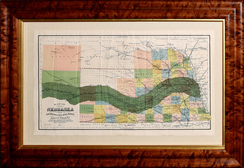
Map of Nebraska Showing the Union Pacific Railroad Land Grant
c. 1884
Lithograph with original hand-coloring
Sheet size: 13 7/8 x 24 in.
Frame size: 22 1/4 x 32 in.
A RARE, UNRECORDED STATE
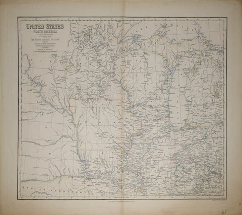
In order to help finance the construction of the nation’s first Transcontinental Railroad (and numerous subsequent lines), Congress enacted a series of bills that provided government bonds and land grants to various railroad companies. The Union Pacific was a huge recipient, and this map of Nebraska shows the twenty-mile limit along either side of the track that was allocated for sale.
The land grants were heavily advertised and brought settlers to the state by the thousands, as evidenced by the plotted townships and labeled towns that hug the lines. A St. Louis real estate agent rubberstamp can be found on the verso and text underneath the title encourages the audience to address Leavitt Burnham, Land Commissioner in Omaha, for prices and terms of payment.
The map is known in several separate editions, having been printed originally in 1880 by H.R. Page & Company in Chicago (the Library of Congress has one such example). Rand McNally also printed a version around this time, found at Yale and the University of Iowa libraries. WorldCat identifies five copies of an 1883 version. This is the only example we know of dated 1884.
We Also Recommend