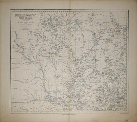
General Land Office, Sketch of the Public Surveys in Iowa
General Land Office
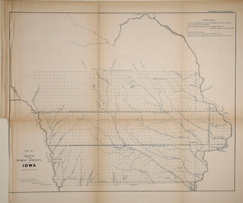
Sketch of the Public Surveys in Iowa
Washington DC, 1853
19 3/8 x 21 3/8"
Very fine example of the 1853 public survey map of Iowa prepared by Warner Lewis, Surveyor General of Iowa.
The map shows the progress of township and baseline surveys in Iowa. The northern part of the state is still largely unsurveyed, as is a section west of the Big Sioux River. The south boundary of the Sioux Indian Territory as delineated by Treaty of July 15, 1830 is also shown.
An explanation in the upper right quadrant explains the various lines on the blocks. Only a few early cities are named. most of which are near the Mississippi River and tributaries, with Kanesville, Trader's Point and Sargent's Bluff in the west.
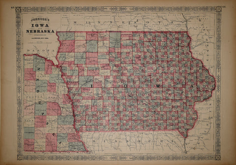
We Also Recommend